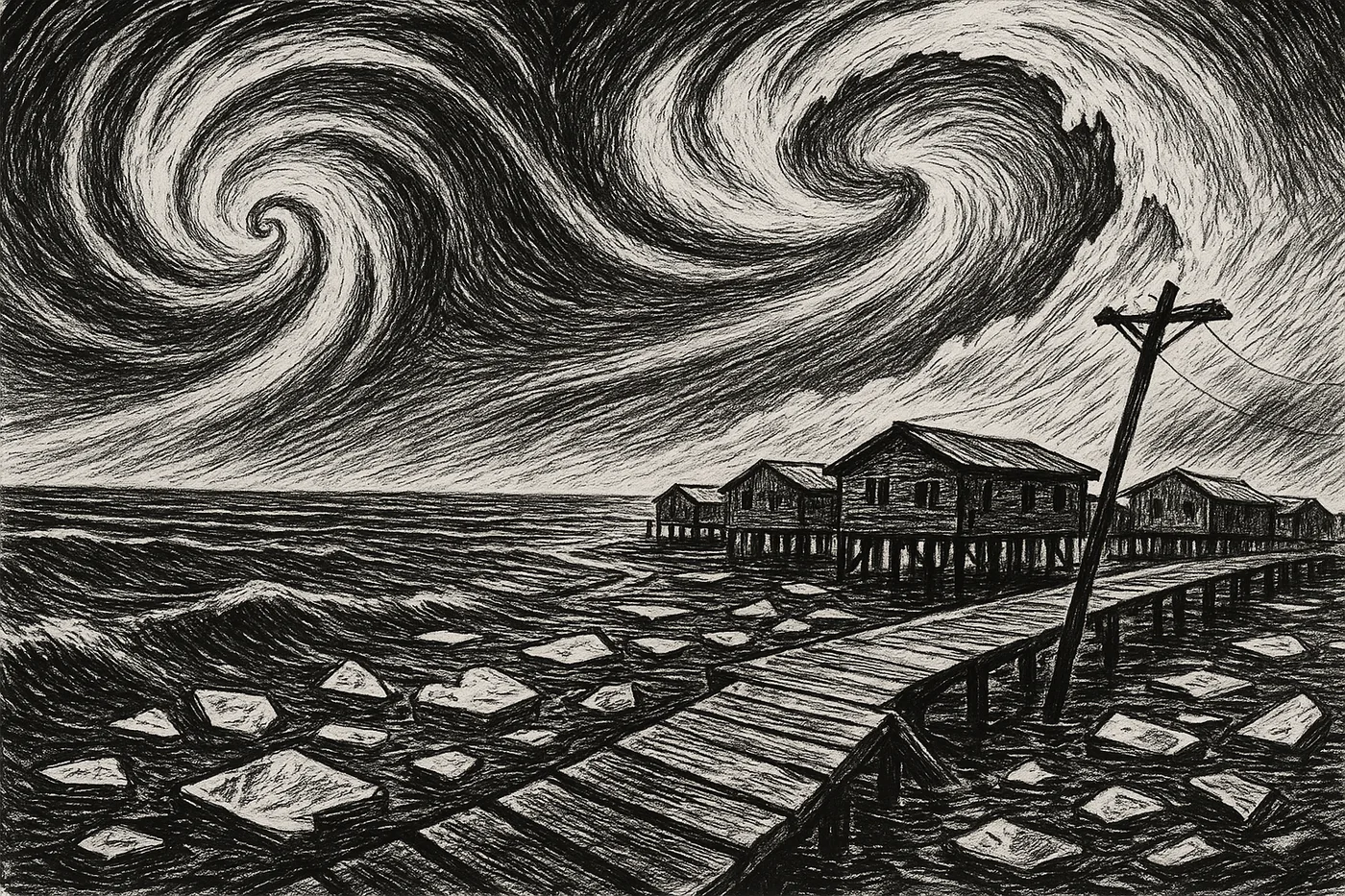
TLDR: A monster typhoon’s remnant, born in the warm Pacific, traveled thousands of miles to slam remote Alaskan villages with water levels more than five feet above normal. How? The storm shapeshifted, swapping its tropical engine for an Arctic one fueled by clashing air masses. But this time, three under-the-radar factors supercharged its punch: unusually warm ocean water gave it extra life, record-low sea ice created a massive runway for wind to build bigger waves, and chronically exposed coastal communities stood directly in its path. Unlike the 2022 storm Merbok, this event hit an Arctic environment that was warmer and had far less protective ice, signaling a new and unpredictable reality for the region’s storm seasons.
The Storm’s Wild Journey: From Typhoon to Arctic Disruptor
Every storm has a story, but Halong’s was a wild one. It began its life in early October as a textbook monster—a violent typhoon churning in the western Pacific with winds screaming at 138 mph. For days, it followed a classic northwest track.
But as it moved toward the Bering Sea, it began a strange transformation. It underwent what meteorologists call an “extratropical transition“—essentially shedding its tropical roots for a colder, wind-driven engine powered by the collision of warm and cold air masses. Think of it like a sports car swapping engines mid-race, allowing it to hold onto formidable power.
Instead of fizzling out, the storm’s remnants re-intensified over the Bering Sea between October 10 and 12, feeding on energy from an upper-level jet stream. It roared back to life as a potent Arctic storm, blasting the region with 100 mph winds. Influenced by a strong Aleutian Low pressure system, its path veered more eastward than usual, taking direct aim at the low-lying coast of western Alaska.
From October 12 to 14, communities watched the sea first pull back unnervingly before surging forward—a wall of water that overwhelmed the coastline. Governor Mike Dunleavy declared a state disaster emergency on October 10, bracing for impact. But why did this particular storm hit so much harder than expected?
Driver 1: Ocean Heat Supercharging the Remnant
A storm moving this far north should normally run out of gas as it crosses colder water. But Halong’s remnant found a surprise waiting: a “warm bath” in the North Pacific and Bering Sea. Thanks to persistent marine heatwaves, sea surface temperatures were significantly elevated, providing thermal energy that sustained the storm’s intensity during its critical transition phase.
This reservoir of heat acted like high-octane fuel. Instead of weakening, the storm fed on this warmth, helping it maintain its structure and power. This extra energy boost is a key reason why the system that arrived in Alaska was still powerful enough to cause such widespread damage—a stark difference from storms just a few years prior, when cooler waters would have sapped its strength.
Driver 2: Vanishing Sea Ice Opening the Floodgates
The second factor was the absence of a critical natural barrier: sea ice. By October 2025, Arctic sea ice extent was exceptionally low. This created a huge expanse of open water, giving the storm’s winds an uninterrupted runway to build momentum.
This phenomenon, known as wave fetch, is simple physics: the longer the wind blows over open water, the bigger the waves get. With no ice to dampen their energy, massive swells grew and crashed into the Alaskan coast. This amplified the storm surge, pushing more water inland and causing far more severe erosion than if the coast had been buffered by its usual armor of seasonal ice.
Less ice, more splash—and more destruction.
Driver 3: Remote Villages on the Front Lines
The final piece of this destructive puzzle is the profound vulnerability of the communities in the storm’s path. For generations, Yup’ik villages like Kipnuk, Kwigillingok, and Napakiak have thrived along the Yukon-Kuskokwim Delta. But these low-lying communities now face a triple threat: coastal erosion, sea-level rise, and thawing permafrost that destabilizes the very ground beneath them.
Reports from the storm were devastating. Up to eight homes in one village were displaced, some seen floating away. The U.S. Coast Guard performed rescues as residents faced injuries from flying debris. Today, about 22% of structures in these coastal communities lie in floodplains—a number projected to climb to 30-37% by the end of the century.
These aren’t abstract statistics. They represent real families watching their homes, schools, and subsistence lifestyles increasingly at risk with each autumn storm season.
What to Watch Next: Eyes on the Arctic Horizon
The ghost of Typhoon Halong offers a sobering look at how interconnected our climate systems are. As news coverage focuses on the aftermath, understanding these underlying mechanics is crucial. The event underscores the growing need to monitor not just the storms themselves, but also the environmental conditions that amplify them—from ocean heat content to the annual minimum of sea ice.
For the communities on the front lines, these powerful autumn storms are no longer an abstract threat but a recurring emergency, redefining what it means to be prepared in a rapidly changing Arctic.

